Three Dimensional Modelling of the Tamar River
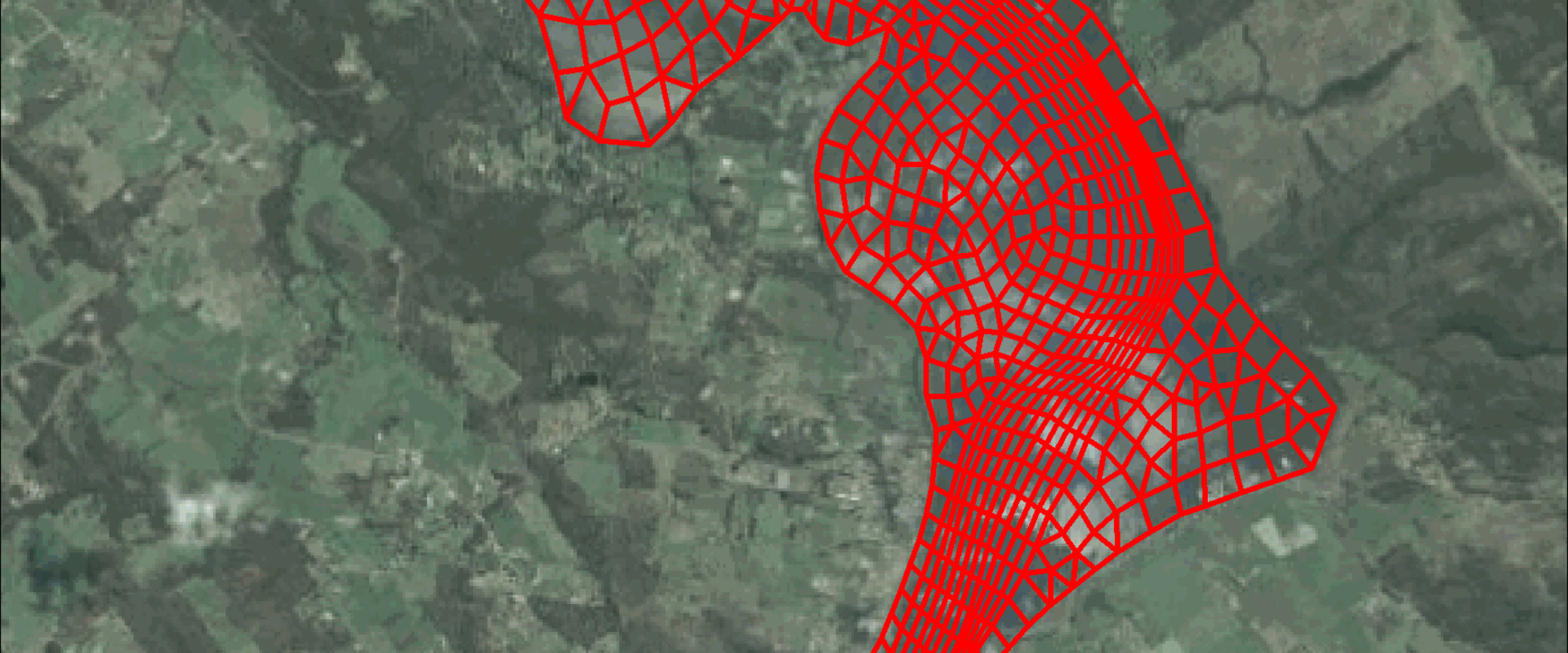
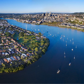
We were commissioned to develop a three dimensional hydrodynamic, sediment transport and water quality model of the Tamar River, Tasmania.
We were commissioned to develop a three dimensional hydrodynamic, sediment transport and water quality model of the Tamar River, Tasmania.
Customer: NRM North
The Tamar River has experienced significant environmental changes over several decades, primarily as a result of anthropogenic impacts such as upstream damming, catchment development, and direct delivery of urban wastewater to poorly flushed river reaches.
As a result, the river exhibits degraded sediment and water quality conditions in most upstream reaches that require active intervention to remediate.
We were commissioned to develop a numerical model to support the development of such intervention strategies.
The model was used successfully to investigate the potential effectiveness of a range of structural and environmental alterations to the estuary. Some scenarios showed marked improvement in places, but with deleterious consequences elsewhere.
The model was able to be used to quantify these benefits and consequences and provide robust predictions of overall environmental benefits.
The modelling tool can be continually refined and used to assist in ongoing management decisions.
BMT has developed a comprehensive model for analysing the impacts on morphological processes of the Murray River mouth and associated water levels and salinity levels throughout Coorong and Lower Lakes resulting from variable river flows and release strategies at the barrages, incorporating ocean tide, storm surge, wave and wind processes.
We developed a 3D hydrodynamic and water quality model of the region around the Abrolhos Islands in Western Australia. In collaboration with the University of Western Australia, model results were used to assess the impact of proposed finfish aquaculture on the surrounding environment.
Seqwater is the Queensland Government Bulk Water Supply Authority and manages over $11 billion of water supply infrastructure - including dams and weirs, conventional water treatment plants, a desalination plant, the Western Corridor Recycled Water Scheme, as well reservoirs, pump stations and more than 600 kilometres of bi-directional pipeline network. As part of Seqwater's climate change risk management, this project assessed climate change vulnerability of Seqwater's built assets.
The Brisbane River Catchment Flood Study is the most detailed and comprehensive flood study ever undertaken in Australia. The hydraulic models that were developed underwent rigorous calibration. A sophisticated Monte Carlo approach was used to hydraulically model 11,340 flooding scenarios. The result was a robust and defendable set of design events. The study was fully peer reviewed by a panel of independent experts.